
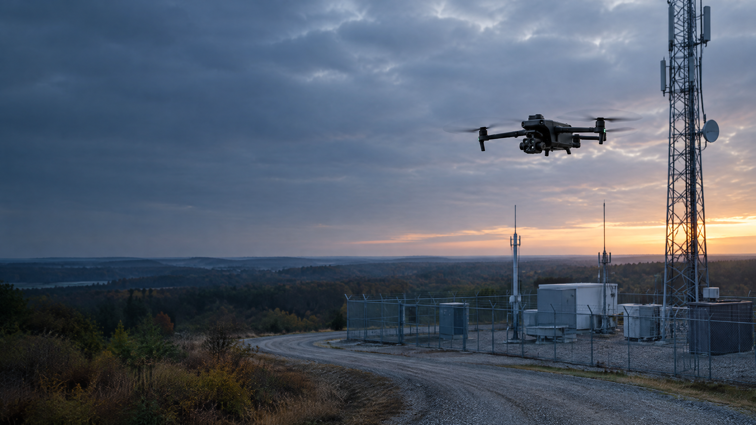
A drone can produce impressive images of an infrastructure asset in minutes. But attractive imagery is not the same as dependable field documentation.
When aerial data will support maintenance planning, engineering review, storm response, construction coordination, or an asset-management decision, the mission must be treated as a controlled field operation—not a photo shoot.
That means starting with a defined objective, identifying hazards before launch, following a systematic capture plan, reviewing the data before leaving the site, and delivering an organized record that another professional can understand and use.
The value is not simply in flying over the asset. The value is in creating a complete, traceable visual record that supports the next decision.
Reliable infrastructure documentation begins before the aircraft leaves the ground.
The Difference Between Imagery and Field Documentation
A collection of aerial photographs may show what an asset looks like. Field documentation must do more.
A useful documentation package should help the client answer questions such as:
- What was observed at the site on a specific date?
- Which assets and surrounding areas were documented?
- Was the required coverage completed?
- Where are visible conditions that may warrant closer evaluation?
- Can another team member locate and understand each image?
- Is the information organized well enough to compare with a future mission?
Random photographs rarely provide that level of confidence. They may lack consistent angles, location context, complete coverage, or a clear connection to the client’s objective.
A controlled documentation mission creates an intentional record. Every image has a purpose, every flight segment supports the mission objective, and the completed dataset is reviewed before the field team demobilizes.
An Illustrative Infrastructure Scenario
Consider a representative situation: an organization needs a dated visual record of several distributed infrastructure assets following severe weather.
The objective is not to make engineering determinations from the air. It is to document visible conditions, establish location context, and help the organization decide where qualified personnel may need to conduct further evaluation.
Before the mission begins, the operator must understand:
- Which assets are included
- What views and details are required
- How the information will be used
- What conditions would require the flight to stop
- Who must be notified if access, safety, or equipment problems arise
- How the completed data should be named, organized, and delivered
This scenario is illustrative, but the operating principles are real. Infrastructure work demands more than piloting ability. It requires preparation, discipline, and an understanding that the collected data may influence decisions long after the aircraft has landed.
Before Launch: Define the Decision and Identify the Risk
The first question should not be, “Where should we fly?” It should be, “What decision must this documentation support?”
A maintenance team may need clear imagery of a specific component. A project manager may need a dated record of site conditions. An engineering team may need broader visual context before deciding where to send personnel. An asset owner may need consistent baseline documentation for future comparison.
Once the objective is clear, the mission can be planned around it. Preflight planning should address:
- Airspace and authorization requirements
- Weather and changing environmental conditions
- Site access and property restrictions
- Roads, vehicles, workers, and members of the public
- Energized infrastructure and other operational hazards
- Terrain, vegetation, structures, and communication limitations
- Aircraft, battery, controller, and sensor readiness
- Emergency procedures and stop-work conditions
- Required image angles, resolution, overlap, and coverage
A professional operator must be prepared to delay, modify, or stop a mission when conditions no longer support safe or reliable data collection. Completing every planned image is never more important than maintaining a safe operation.
Systematic Capture Instead of Random Footage
Infrastructure documentation should follow a repeatable capture plan. Depending on the asset and project requirements, that plan may include overview imagery, approach views, consistent oblique angles, close visual details, surrounding-site context, or an automated mapping pattern.
The goal is complete coverage—not the largest possible number of photographs. A systematic workflow helps ensure that:
- Each required asset is documented
- Image angles remain consistent
- Important components are not missed
- Asset identity and location remain clear
- The imagery can be reviewed efficiently
- Future missions can reproduce the same perspective when appropriate
High-resolution imagery is valuable only when the right subject is visible, in focus, properly exposed, and connected to the correct location or asset record. The pilot must therefore think beyond aircraft movement. The pilot is managing a data-collection process.
Quality Control Before Leaving the Field
One of the most expensive field mistakes is discovering a coverage gap after the team has already left the site. Field quality control should occur before demobilization whenever conditions permit. The operator should confirm that the collected data is complete, clear, correctly associated with the assigned assets, and suitable for the intended deliverable.
That review may include:
- Confirming every assigned asset was captured
- Checking image clarity and exposure
- Verifying required angles and details
- Identifying obstructed or incomplete views
- Confirming automated mission coverage
- Reviewing file counts and storage status
- Recording access limitations or field exceptions
- Re-flying incomplete areas when it is safe and authorized to do so
Quality control is not something that begins at the office. It begins in the field, while corrective action is still possible.
The best time to discover a missing image is before the aircraft is packed away.
What the Client Should Receive
A dependable infrastructure documentation package should be organized around the client’s operational needs. Depending on the project scope, the delivery may include:
- High-resolution overview and detail imagery
- Organized folders by site, asset, location, or date
- Aerial maps or orthomosaics where appropriate
- Asset-location context
- Annotated visible observations
- Flight and collection records
- Documentation of access limitations or incomplete areas
- An organized, shareable delivery package, with access controls when required by scope
- Annotated observations identifying areas that may warrant qualified follow-up
The deliverable should allow maintenance, engineering, construction, safety, or asset-management personnel to find the information they need without interpreting an unstructured photo library. Aerial documentation should make the next decision easier.
What Aerial Documentation Does Not Replace
Aerial observation has important limitations. It does not replace a licensed engineer, qualified utility worker, certified inspector, hands-on maintenance program, or any technical evaluation required by regulation, policy, contract, or professional practice.
A drone may document a visible condition or an area warranting closer attention. It should not be used to make unsupported conclusions about structural integrity, electrical condition, code compliance, or the remaining service life of an asset.
SION Solutions approaches aerial documentation as a supporting capability. The purpose is to give qualified decision-makers a clearer, safer, and more organized view of the asset—not to replace their authority or expertise.
Why SION Approaches the Work Differently
SION Solutions is led by Ivory Cooper, a U.S. Navy veteran and former FAA Memphis District Manager with more than 25 years in aviation technical operations.
His career included leadership in safety-critical infrastructure environments and hands-on experience with communications, navigation, surveillance, antenna systems, power connections, weatherproofing, technical maintenance, field documentation, and equipment accountability.
That background shapes how SION plans and executes aerial work today. We approach infrastructure documentation with the same principles that guide other safety-critical operations:
- Define the objective
- Understand the operating environment
- Follow established procedures
- Maintain equipment readiness
- Document exceptions
- Verify the work
- Escalate concerns appropriately
- Deliver an organized and traceable record
The aircraft is an important tool. The operating discipline behind it is what makes the information dependable.
Build a Better Infrastructure Record
If your organization needs a clearer visual record of an infrastructure asset, facility, construction site, or distributed field system, begin by defining the decision the documentation must support.
SION Solutions provides FAA Part 107 aerial data collection, mapping, visible-condition documentation, and structured reporting for commercial and government clients across the Mid-South. Our work is designed to inform—not replace—required engineering, maintenance, safety, or technical evaluation.
Discuss your site, operating environment, documentation requirements, and intended deliverables with SION Solutions. We will help define an aerial documentation scope that supports the right next decision.
Schedule a Capabilities Conversation