Veteran-Owned · FAA Part 107 Operations · Mid-South
Led by the former FAA Memphis District Manager · 25+ Years Aviation Leadership
ACTIONABLE AERIAL INTELLIGENCE
Reality Capture for Commercial Properties and Construction
Helping construction, commercial real estate, and facility teams reduce risk through actionable aerial intelligence. Serving Memphis and the Mid-South.
SION is organized around three recurring business problems: protecting and managing a property, documenting a construction project, and building an internal UAS capability. Government and infrastructure buyers can engage across all three through authorized, procurement-compliant scopes.
01
Property
Intelligence
Property, facility & asset teams
Create a clear, repeatable record of visible property conditions so owners and managers can plan maintenance, support contractor review, and compare assets over time.
Build a date-stamped aerial record of authorized site conditions and visible progress that supports owner communication, project documentation, and more informed follow-up.
Move from Part 107 preparation toward practical operating readiness with instructor-led training, flight fundamentals, and separately scoped program-development support.
Part 107 preparation, flight fundamentals & program structure
Aerial pavement condition surveys for commercial property owners, facility managers, and municipalities. Document cracking, drainage issues, and deterioration before they become emergencies.
Full-site orthomosaic with defect annotation
Aerial pavement condition assessment and documentation
GPS-tagged defect mapping for repair prioritization
Written condition report — standard delivery within one business day
Comprehensive aerial documentation packages for land sales, aerial documentation, and property transactions. Everything a buyer needs to evaluate remotely.
Full aerial photo library (50+ images minimum)
Interactive 3D model for remote buyer access
Land feature and aerial documentation
Standard delivery within one business day of flight
Active in SAM.gov, veteran-owned aerial intelligence for government contracts. Infrastructure documentation, site assessment, and aerial mapping for federal, state, and municipal agencies.
Active in SAM.gov — UEI: XQ6AMZWREJN6 · CAGE: 1RNP6
Comprehensive aerial documentation for acquisitions, due diligence, and portfolio management.
Construction
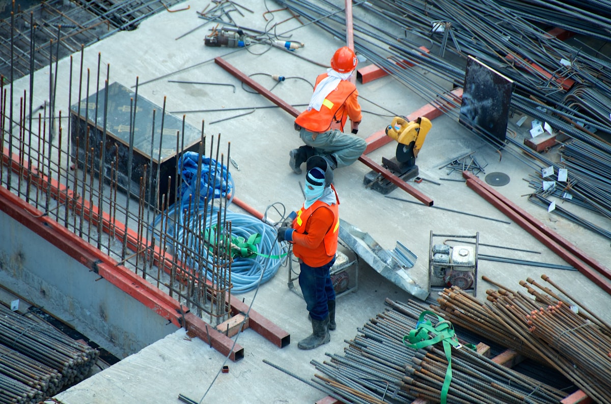
Progress monitoring, volumetric analysis, and site documentation from groundbreak to completion.
Insurance Adjusters
Safe, rapid roof and property inspections that reduce liability and accelerate claims processing.
Developers
Site analysis, marketing imagery, and investor-ready aerial documentation for development projects.
Property Investors
Detailed property assessments and condition reports to support acquisition decisions.
Real Work. Real Results.
FEATURED PROJECTS
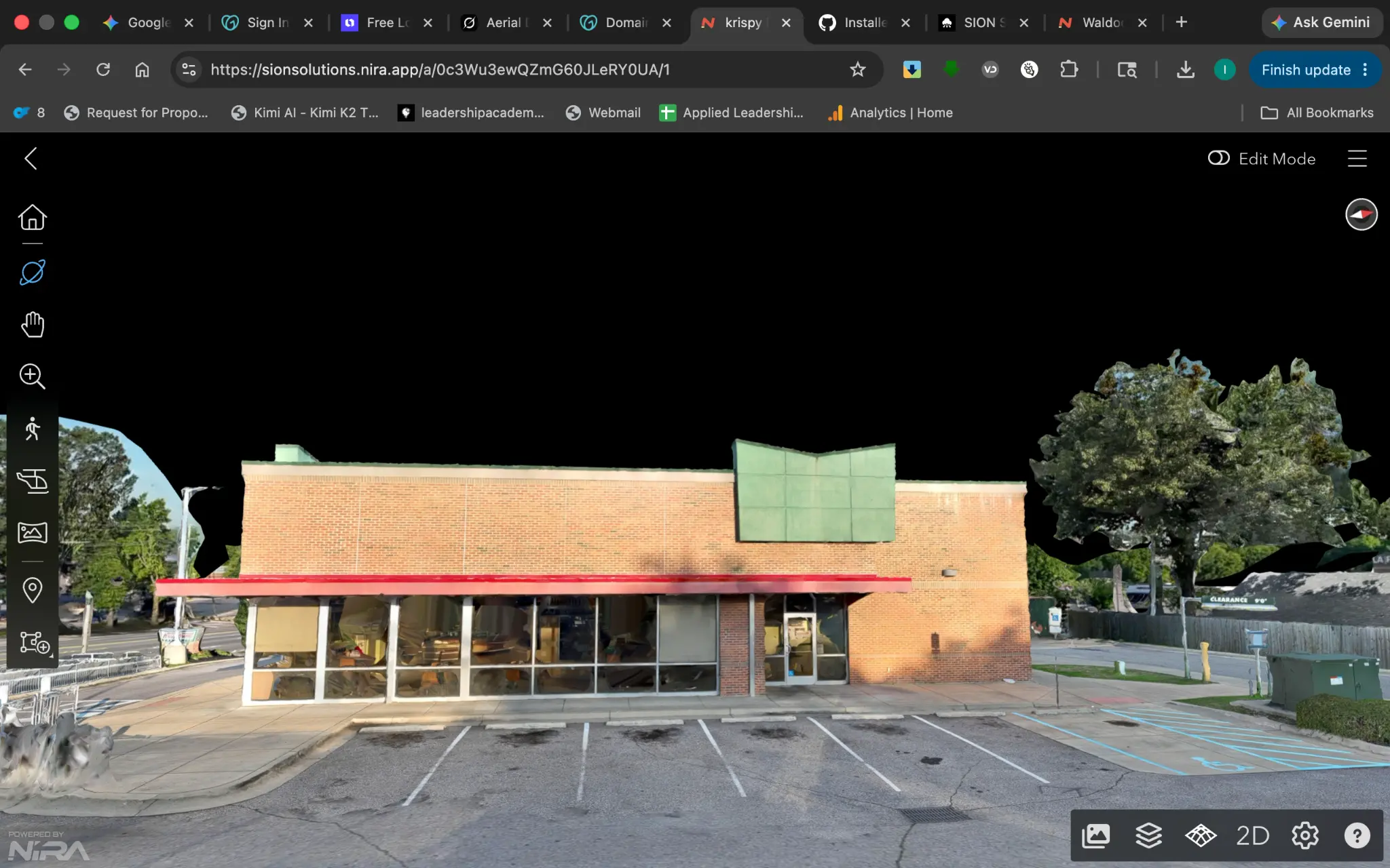
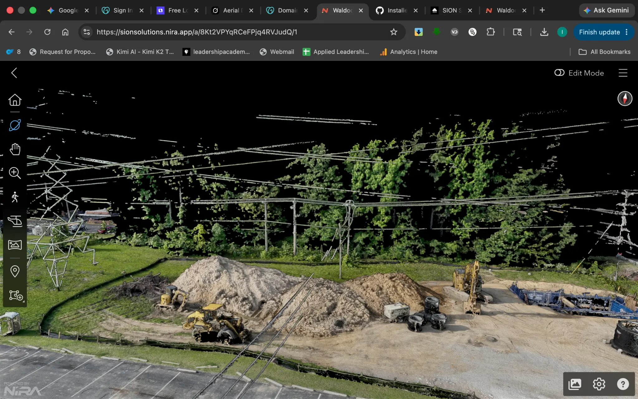
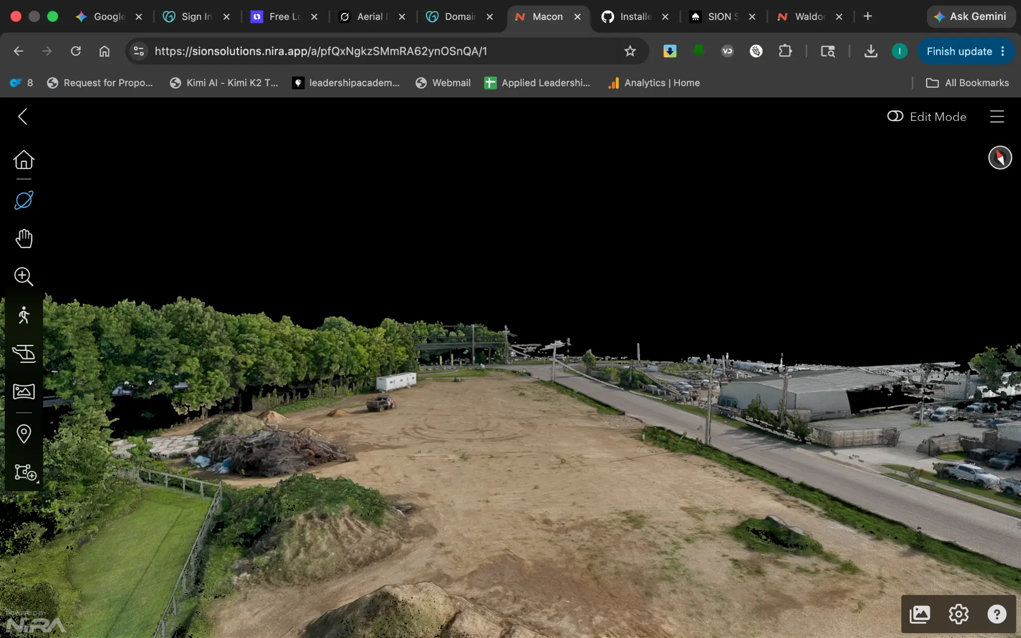
Click View in 3D to interact with live models directly on this page — no download, no app required.
★ Paid Client Engagement · Cherry Trace · Coldwater, MS
Property Documentation
Coldwater, Mississippi
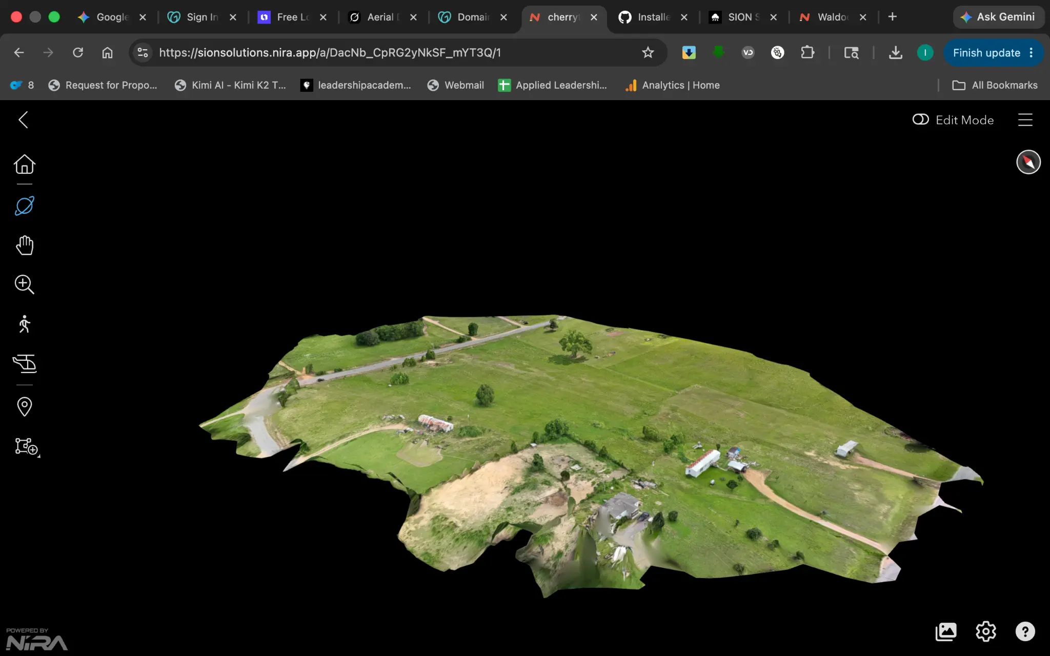
Cherry Trace 4-Acre Property Documentation
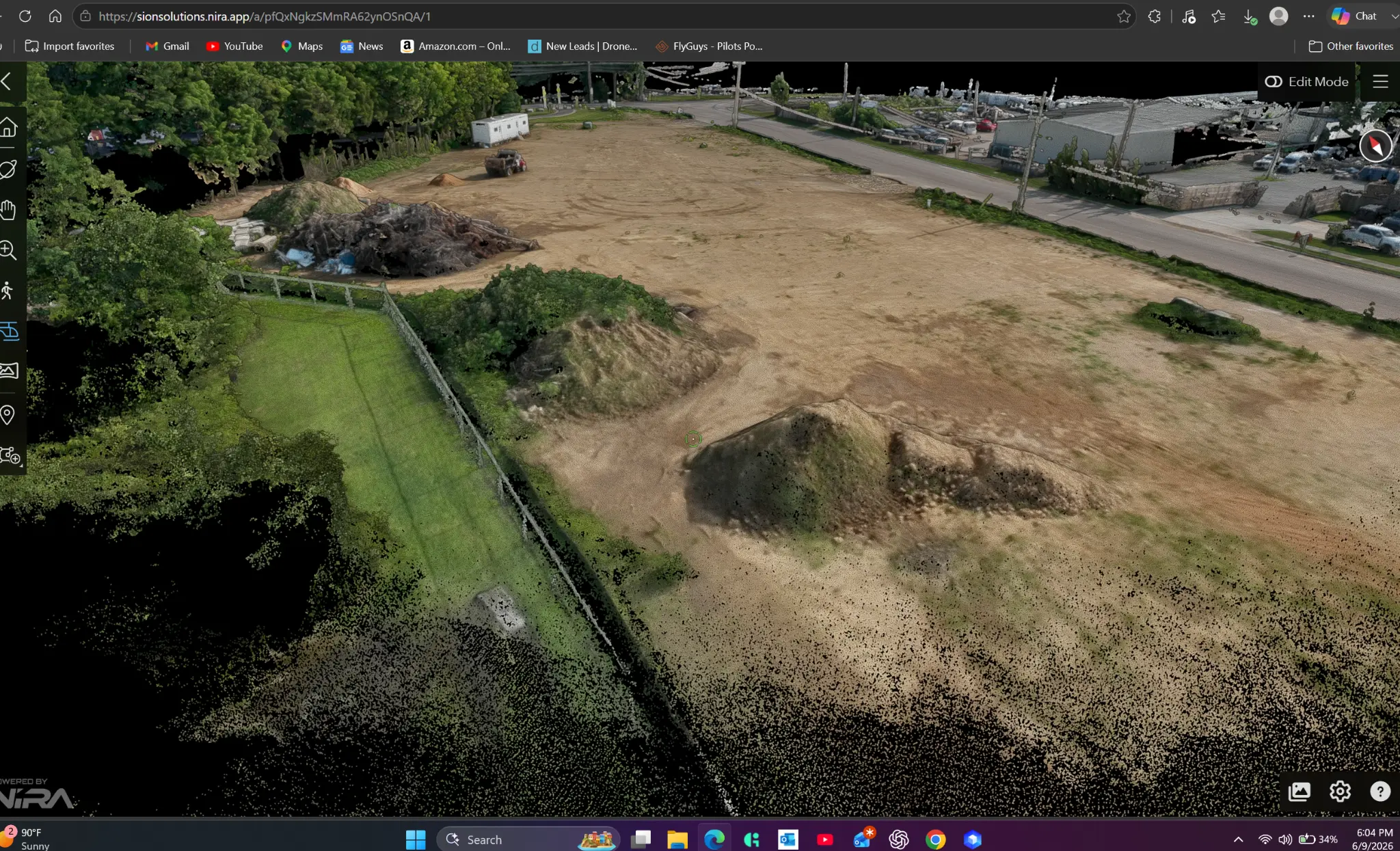
Complete aerial documentation of a 4-acre residential property — including land erosion detection, site mapping, and a full 3D model delivered via Nira. Client paid and immediately requested referrals.
All models hosted on Nira — interactive, no download required.
Scan any QR code with your phone or click View in 3D to explore on any device.
Client Results
WHAT CLIENTS ARE SAYING
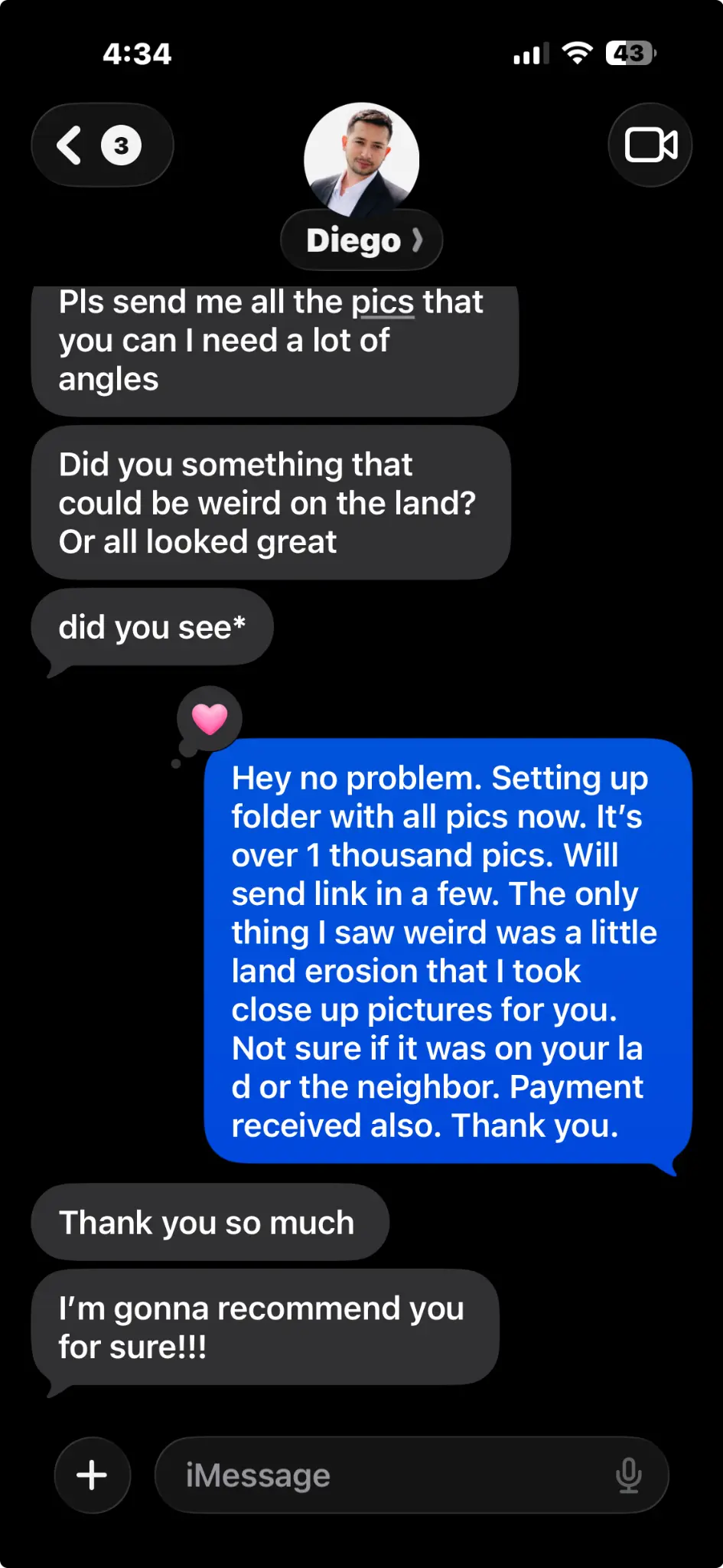
"The model is awesome. You really did an amazing job. I'm gonna recommend you for sure!!!"
Project
Cherry Trace — 4-Acre Property Documentation
Coldwater, Mississippi · 3D Model + Aerial Mapping · Paid Engagement
D
Diego
Property Owner · Coldwater, MS
Actual Client Message
Real message. Real client. Real results.
Case Study
CHERRY TRACE PROPERTY DOCUMENTATION
Coldwater, Mississippi · Vacant Land Sale Documentation
Client Challenge
A property owner needed comprehensive aerial documentation of a 4-acre vacant parcel in Coldwater, MS to support an active land sale. The client required high-quality imagery and a 3D model that buyers could explore remotely — eliminating the need for multiple in-person site visits during the sales process.
Mission
Capture a complete aerial record of the parcel — orthomosaic mapping, high-resolution photography, and an interactive 3D model — standard delivery within one business day of the flight.
Deliverables
Full 3D interactive model — shareable from any device via cloud link
Georeferenced orthomosaic map of the 4-acre parcel
50+ high-resolution photos from DJI Mavic 3 Pro for listing use
1,200+ raw images organized and delivered via Google Drive
Land erosion documentation with close-up imagery
4
Acres
Vacant land documented
1
Bus. Day
Flight to delivered model (standard)
1,200+
Images
Matrice 4E RTK + Mavic 3 Pro
2
Platforms
3D model + full photo library
Business Outcome
Buyer was able to evaluate the property remotely using the interactive 3D model, reducing the need for in-person site visits. Documentation supported the sales process with professional aerial documentation of land condition, terrain, access, and visible site features.
"The model is awesome. You really did an amazing job. I'm gonna recommend you for sure!!!"
Standard delivery within one business day of flight·Paid engagement · Coldwater, MS
Response within one business day · FAA Part 107 Operations
Deliverables
WHAT WE DELIVER
Every engagement ends with a complete intelligence package — not just raw footage. You receive data you can act on, share, and reference for years.
Orthomosaics
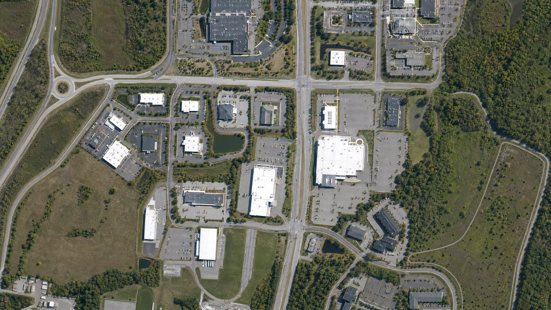
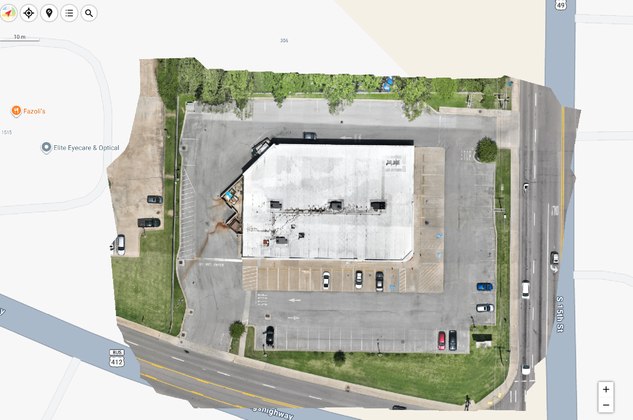
Georeferenced aerial maps you can measure, annotate, and share — designed for centimeter-level relative accuracy under suitable conditions.
Digital Twins
Interactive 3D models of your property, accessible from any device, any time.
Roof Inspections
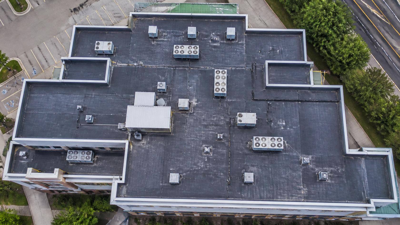
Safe, rapid commercial roof assessments with the detail adjusters and property managers need.
Construction Monitoring
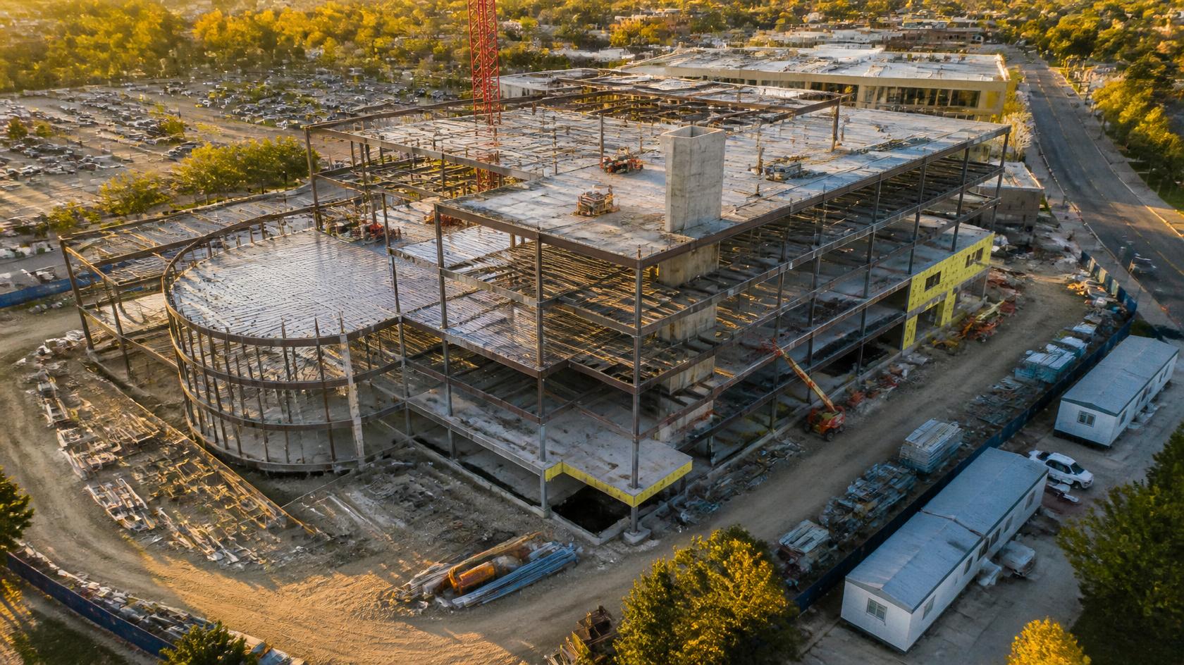
Scheduled aerial documentation that keeps every stakeholder current without additional site visits.
3D Models
High-fidelity point clouds and mesh models ready for BIM integration or client presentations.
Property Documentation
Comprehensive aerial records for insurance, permitting, sales, and due diligence packages.
Why It Matters
MISSION-READY. RESULTS-DRIVEN.
We don't sell drone flights. We deliver the intelligence that helps commercial real estate professionals, construction teams, and insurance adjusters work faster and smarter.
Fewer Site Visits
Reduce the cost of being on-site.
Interactive digital twins and orthomosaic maps let your team, clients, and adjusters review the property from anywhere — cutting unnecessary travel and accelerating decisions.
Better Documentation
Capture every detail, permanently.
Aerial records create an accurate, time-stamped baseline for insurance claims, permitting, sales, and construction disputes. Documentation that holds up when it matters most.
Smarter Decisions
Make better decisions with better data.
Georeferenced maps and 3D models give project managers, developers, and property owners the spatial intelligence to plan, budget, and execute with confidence.
Progress with Confidence
Capture progress on every phase.
Scheduled aerial monitoring keeps every stakeholder current without disrupting the job site. Know exactly where the project stands — always.
Professional Platform
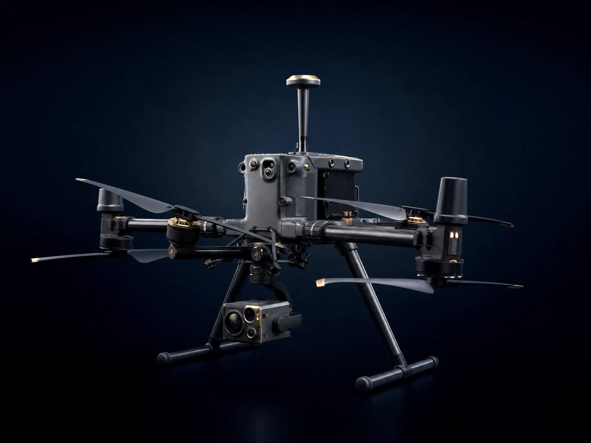
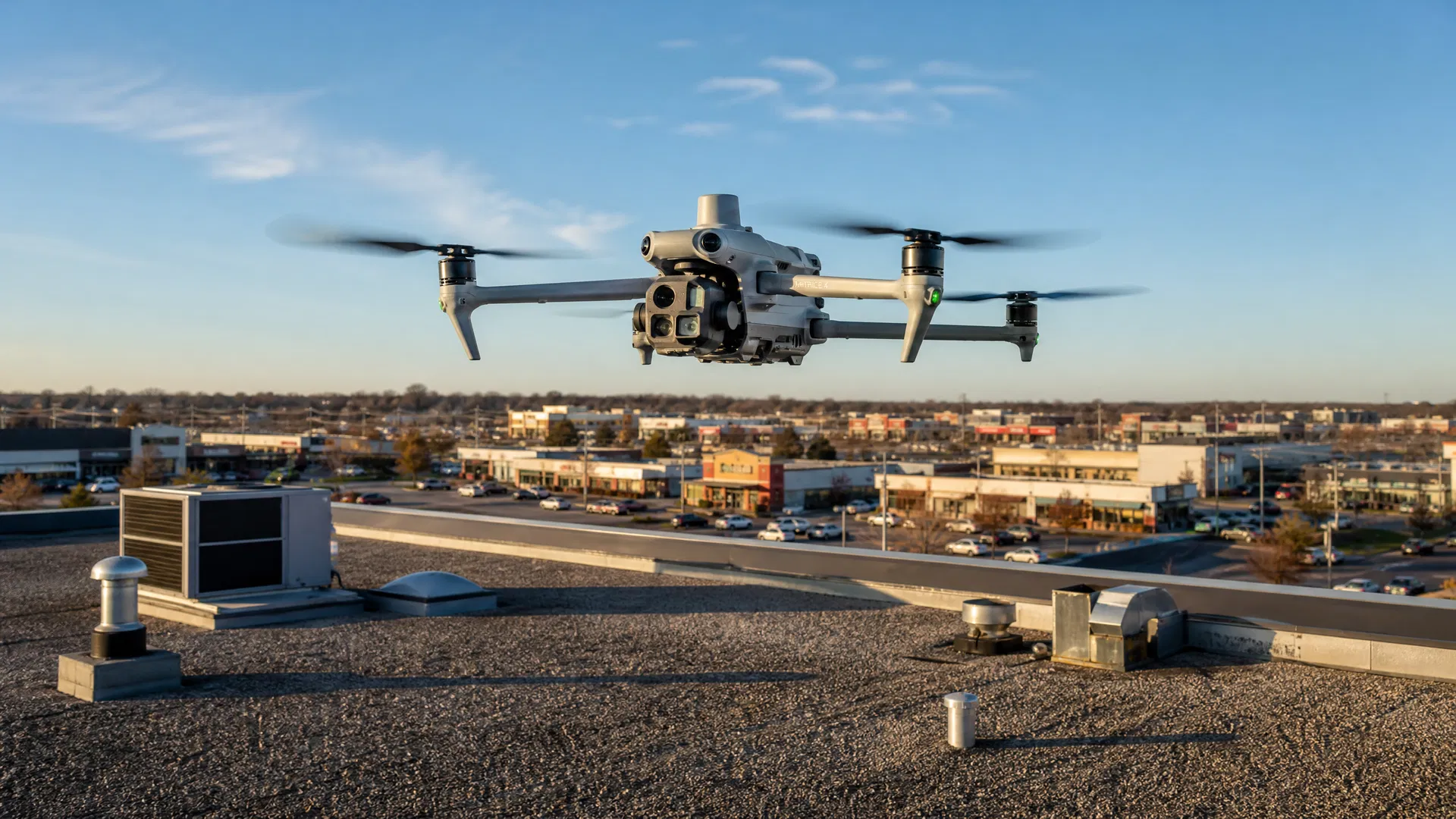
POWERED BY THE DJI MATRICE 4E RTK
The Matrice 4E RTK is DJI's flagship enterprise reality capture platform. Real-Time Kinematic positioning is designed for centimeter-level relative accuracy under suitable conditions — giving you data precise enough to make real decisions.
RTK Positioning
RTK-enabled mapping designed for centimeter-level relative accuracy under suitable conditions — supporting construction documentation, GIS workflows, and commercial property inspection.
Orthomosaic Mapping
Georeferenced aerial maps you can measure, annotate, and share with any stakeholder.
Digital Twins
Full reality capture delivered as interactive 3D models — explorable from any device.
Construction Monitoring
Scheduled aerial documentation that keeps every stakeholder current without a single additional site visit.
High-Resolution Roof Inspections
Safe, rapid commercial roof assessments with the detail adjusters and property managers need to act.
RTK
Centimeter Accuracy
M4E
Enterprise Platform
Our Process
HOW IT WORKS
From flight to final deliverable, every step is designed to give you intelligence you can act on — not just imagery to file away.
01Fly
Capture Accurate Aerial Data
We deploy the DJI Matrice 4E RTK over your site with a precision flight plan. RTK positioning is designed for centimeter-level relative accuracy under suitable conditions — high-quality results without delays.
Next
02Process
Generate Models Using DJI Terra
Raw imagery is processed through DJI Terra to produce georeferenced orthomosaics, point clouds, and 3D mesh models. Every dataset is quality-checked before delivery.
Next
03Analyze
Transform Imagery Into Actionable Insights
We extract the intelligence your team needs — measurements, annotations, progress comparisons, and condition assessments — turning aerial data into decisions you can act on today.
Next
04Deliver
Packaged Deliverables — Ready to Use
Final deliverables are organized and delivered via secure cloud link (Google Drive or Dropbox). Orthomosaics, 3D models, condition reports, and image libraries — everything your team needs, accessible from any device, no specialized software required.
After eight years in the United States Navy, Ivory Cooper spent more than twenty-five years with the Federal Aviation Administration — beginning as an Electronics Technician maintaining critical radar systems and advancing to Memphis District Manager, responsible for technical operations supporting airports throughout the Mid-South, including Memphis, Little Rock, and Greenville.
That career was built around one principle: when decisions affect safety, precision isn't optional. Today, that same mindset drives SION Solutions. Every aerial mission is planned, executed, and delivered with the discipline of military operations and the operational standards of the FAA.
SION Solutions doesn't sell drone flights. We deliver actionable aerial intelligence that helps clients make better decisions.
Veteran-Owned
Mission focused. Dependable. Professional. Eight years of U.S. Navy service means we show up, execute, and deliver — every time.
Former FAA District Manager
Ivory Cooper retired as the FAA Memphis District Manager after 25+ years overseeing critical aviation infrastructure across the Mid-South. That operational standard applies to every project.
Local. Mid-South.
We're here when you need us. No waiting on a team to fly in from another state. We serve Memphis, Cordova, Germantown, Collierville, and the greater Mid-South region.
Operationally Focused
Built for property, construction, government, and infrastructure teams that need organized field documentation and usable aerial data.
Business-Grade Deliverables
Orthomosaics, digital twins, condition reports, and 3D models your team can measure, share, and act on.
Fast Turnaround
From flight to delivered data within one business day on standard engagements. We respect your project timelines and build our workflow around them.
$1M Liability Insurance
Fully insured commercial operations. Your site, your assets, and your stakeholders are protected on every flight.
VETERAN-OWNED BUSINESS
U.S. Navy · FAA Part 107 Operations
Our Mission
ABOUT SION SOLUTIONS
SION Solutions is a veteran-owned aerial intelligence company focused on helping commercial real estate professionals, construction teams, and insurance adjusters make better decisions through high-quality aerial data and reality capture technologies.
Founded by a U.S. Navy veteran and FAA-certificated Remote Pilot, SION Solutions brings military-grade precision and mission-focused execution to every project. We do not just collect data — we transform it into the intelligence your team needs to act with confidence.
Veteran-Owned
U.S. Navy
FAA Part 107
Certified
Member
Black Chamber of Memphis
Official Membership Badge
SION Solutions CorpProud Member of Greater Memphis Chamber
Frequently Asked Questions
ANSWERS BEFORE YOU ASK
Everything a commercial property owner, construction manager, or insurance adjuster needs to know before the first flight.
Pricing depends on property size, location, airspace requirements, deliverables, processing complexity, and whether the engagement is one-time or recurring. SION Solutions provides written scope-based pricing after a complimentary project consultation — no guesswork, no surprise invoices. Schedule your free consultation through our website.
Flight time for a standard commercial property or construction site typically ranges from 30 minutes to 2 hours depending on acreage and the deliverables required. Data processing — including orthomosaic generation, 3D model creation, and report preparation — is typically completed within one business day of the flight on standard engagements. You receive your deliverables the next business day.
No. For most commercial roof inspections, parking lot assessments, and construction monitoring flights, your presence is not required. We coordinate access with your site manager or facilities team in advance. You receive a full digital report, orthomosaic, and 3D model you can review from anywhere. For government or secure facilities, access protocols will be discussed during the project scoping call.
A regular aerial photo is a single image taken from one angle — useful for marketing, but not for measurement or documentation. An orthomosaic is a geometrically corrected, stitched composite of hundreds of overlapping images that produces a true-to-scale, measurable map of your property. Every pixel has a real-world coordinate. You can measure distances, calculate areas, and track changes over time. It is the difference between a standard photograph and a georeferenced mapping deliverable.
SION's RTK-enabled workflows are designed to support centimeter-level relative accuracy under suitable conditions. RTK positioning reduces dependence on ground control points, though independent checkpoints may still be used to validate accuracy on projects where it is contractually important. Actual accuracy depends on correction quality, flight design, processing, and site characteristics. Licensed boundary or land surveys require an appropriately licensed surveying professional.
Commercial drone operations require visual line of sight and are subject to FAA Part 107 operating limitations. SION evaluates wind, precipitation, visibility, cloud clearance, and site conditions before every flight — company operating limits may be more conservative than FAA minimums to protect safety and data quality. Part 107 pilots may conduct routine night operations when current training requirements are satisfied and the aircraft uses compliant anti-collision lighting visible for at least three statute miles; flights in controlled airspace still require the appropriate FAA authorization. Same-day scheduling is subject to weather, airspace, and site access conditions.
Many properties in the Memphis metropolitan area are located within or near controlled airspace due to the proximity of Memphis International Airport (KMEM). When a site is located in controlled airspace, SION obtains the required authorization through LAANC (Low Altitude Authorization and Notification Capability) or FAA DroneZone. Flights in uncontrolled airspace are still reviewed for temporary flight restrictions and other applicable limitations. We handle all airspace coordination — you do not need to manage this. Properties near military installations or other restricted zones may require additional lead time.
Standard deliverables include a high-resolution orthomosaic map, a 3D interactive model (shareable via secure cloud link), a written condition or progress report, and 50+ georeferenced images. Roof inspection engagements also include an annotated condition report. Construction monitoring packages include a written progress summary. All deliverables are delivered digitally within one business day of the flight on standard engagements.
You receive a complete intelligence package delivered via secure cloud link (Google Drive or Dropbox). Standard deliverables include: a georeferenced orthomosaic map, a written condition or progress report, an annotated image library (50+ images minimum), and a 3D interactive model where applicable. Engineering and construction clients can also receive raw data exports — GeoTIFF, LAS/LAZ point cloud, OBJ/PLY mesh, and more — depending on the scope agreed at project start. Everything is organized in a shared folder you can access, download, and share with your team immediately.
Yes. SION delivers engineering-grade data formats including GeoTIFF orthomosaics, LAS/LAZ point clouds, OBJ and PLY mesh files, and georeferenced imagery. These formats are compatible with AutoCAD, Revit, ArcGIS, QGIS, Civil 3D, and most BIM platforms. If your engineer or architect uses a specific platform, let us know during scoping and we will confirm compatibility and export format before the flight.
In most cases, yes. GeoTIFF files open in ArcGIS, QGIS, Global Mapper, and most GIS platforms. Point clouds (LAS/LAZ) open in CloudCompare, AutoCAD, Revit, and similar tools. OBJ and PLY mesh files are compatible with Blender, SketchUp, and most 3D modeling environments. If you have a specific software requirement, tell us during the project consultation and we will confirm the right export format for your workflow.
Yes. Every roof inspection and property assessment engagement includes a written condition report in PDF format. The report includes annotated aerial imagery, zone-by-zone observations, and a summary of conditions noted. Your contractor, adjuster, or property manager can review it from any device without specialized software. Reports are delivered via secure cloud link along with the full image library.
Yes — this is one of the most valuable applications of recurring aerial documentation. SION can establish a baseline assessment of your property and return on a scheduled basis (monthly, quarterly, or annually) to document changes. Each engagement produces a dated, georeferenced deliverable that can be compared directly against prior flights. Over time, you build a documented condition history that supports maintenance planning, capital budgeting, and insurance documentation.
Yes. 3D mesh deliverables are exported in OBJ and PLY formats, which are compatible with Blender, SketchUp, Revit, and most architectural visualization platforms. Point cloud data is available in LAS/LAZ format for use in AutoCAD, Civil 3D, and Bentley MicroStation. If your architect has a specific import requirement, confirm it during project scoping and we will export accordingly.
Orthomosaics produced with RTK positioning are designed for centimeter-level relative accuracy under suitable conditions, making them suitable for area calculations, distance measurements, and change detection. For projects where measurement accuracy is contractually important, independent checkpoints can be used to validate the data. Note that drone-derived mapping data is not a substitute for a licensed boundary or land survey — those require an appropriately licensed surveying professional.
SION's RTK-enabled workflows produce high-accuracy mapping data, but "survey-grade" is a legal term tied to licensed land surveying professionals and their professional standards. SION is not a licensed surveying firm. Our data is appropriate for construction documentation, property condition assessment, GIS workflows, and engineering reference — not for legal boundary determination or recorded plats. If you need a licensed boundary survey, we can refer you to an appropriate professional.
Depending on your engagement type: property owners use condition reports to prioritize maintenance spending and negotiate repair credits. Construction managers use progress documentation to verify contractor milestones and resolve disputes. Insurance adjusters use aerial imagery to document storm damage and support claims. Engineers use point clouds and orthomosaics for design reference and site analysis. The common thread is replacing guesswork with documented, measurable data before you commit budget.
You will receive a secure cloud link (Google Drive or Dropbox) containing your complete deliverable package. The folder includes: your written report in PDF format, the georeferenced orthomosaic, your annotated image library, and any additional data exports included in your scope. For construction monitoring clients, the folder is updated after each flight so your entire project history is in one place. Delivery is within one business day of the flight on standard engagements.
Yes. SION Solutions provides aerial documentation packages designed to support insurance adjuster workflows after storm events. Deliverables include high-resolution roof orthomosaics, annotated damage documentation, and 3D models that allow remote review of the affected area. We serve both commercial property owners and adjusters directly. Contact us to discuss your specific claim requirements.
SION Solutions operates throughout the Mid-South — Memphis and Shelby County, North Mississippi (including DeSoto, Marshall, and Tate counties), Eastern Arkansas (including Crittenden and Mississippi counties), and West Tennessee. Projects outside this primary service radius are evaluated on a case-by-case basis. We have completed projects in Coldwater, MS; Paragould, AR; and Macon, MS.
Still have questions? We answer in plain language.
Every mission teaches something. Every inspection reveals a pattern. We publish what we learn so facility managers, property owners, and contractors can make better decisions before problems become expensive.
Not sure where to start? Let us come to you. SION Solutions offers a free site assessment for commercial property owners, facility managers, and contractors across the Mid-South. One conversation, no obligation — just a clear picture of what aerial intelligence can do for your property.