
Progress photos are not the same as progress documentation. For a general contractor managing a commercial project, the difference between the two shows up in owner meetings, change order disputes, and subcontractor accountability — not in the quality of the images.
A photo taken from the ground by a superintendent tells you what one person saw from one vantage point on one day. Aerial documentation tells you what the entire site looked like from above on a specific date — every work zone, every material staging area, every piece of equipment, every phase of work in progress — captured in a single, measurable, time-stamped record.
The question isn't whether you're taking photos on your job site. The question is whether those photos would hold up if a subcontractor disputed the work, an owner questioned the schedule, or an insurer needed to verify site conditions on a specific date.
The Three Conversations Where Documentation Matters Most
Owner reporting is the most visible use case. Owners and lenders want to see that the project is progressing as scheduled and that their investment is being protected. A high-resolution aerial image of the site — captured consistently, delivered promptly, and archived in sequence — gives ownership a clear, objective view of progress that a ground-level photo set cannot provide. It also reduces the number of site visits owners feel they need to make, which reduces friction on active projects.
Change order documentation is where aerial records earn their cost back. When a change order is issued because of an unforeseen site condition — an existing utility, a soil condition, a structural discovery — the aerial record of the site at the time of discovery provides the context that written documentation alone cannot. It shows what was visible, what was in progress, and what the field conditions actually looked like when the change was identified. That context is the difference between a change order that gets approved and one that gets disputed.
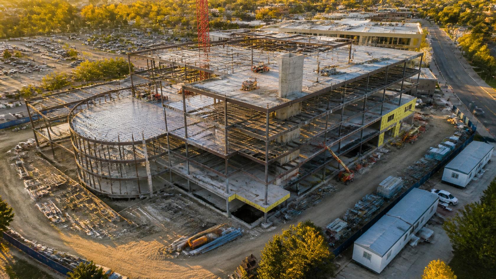
Subcontractor accountability is the third area, and it's often the most financially significant. Scope disputes — a subcontractor claims work was performed, the GC or owner disputes it — are among the most common sources of project cost overruns. Without a dated visual record, the argument becomes a contest of credibility. With a dated aerial record showing site condition before and after the claimed work, the record is unambiguous. The work is either visible in the imagery or it isn't.
What Aerial Documentation Actually Delivers
- High-resolution aerial imagery — the complete site captured from above on a specific date
- Orthomosaic progress mapping — a georeferenced, measurable map of the site at each documentation interval
- Time-stamped archive — a sequenced visual record of the project from mobilization through completion
- Owner reporting package — professional imagery and documentation formatted for ownership and lender review
- Dispute-ready records — dated documentation that establishes what was visible and in progress on any given date
- Repeatable methodology — consistent flight parameters and delivery format so every visit is directly comparable to the last
The Recurring Program Model
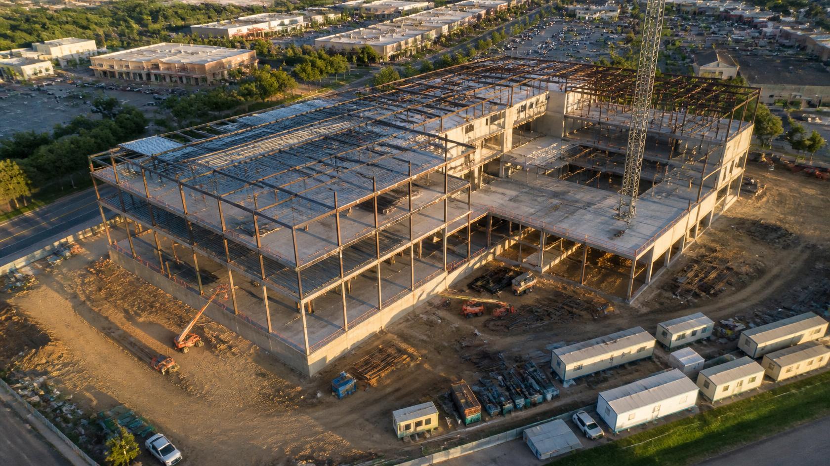
A single aerial visit produces useful documentation. A recurring program produces something more valuable: a sequenced visual record of the project that shows progress over time. When you can compare this month's imagery against last month's, you can see exactly what was completed in that interval — which supports schedule reporting, payment applications, and owner communication in a way that a single snapshot cannot.
SION Solutions offers monthly, biweekly, and custom-cadence construction monitoring programs for commercial projects in Memphis and the Mid-South. Each visit produces high-resolution aerial imagery, an orthomosaic progress map, and a cloud-delivered documentation package — typically within 24 hours of the flight. The program is designed to integrate with your existing project reporting workflow, not replace it.
What This Costs — and What It Protects
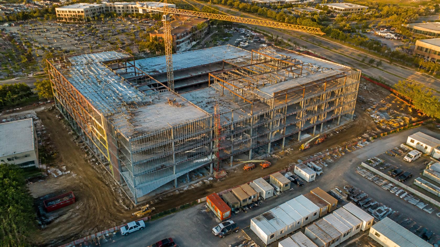
A single construction documentation visit starts at $395. A monthly recurring program starts at $1,200. For a commercial project where a single unresolved scope dispute can cost multiples of that, the documentation is not an expense — it's risk management. The GCs who understand this math don't skip the aerial record. They build it into the project from day one.
The best time to establish an aerial documentation baseline is before work begins. The second best time is now. Every week without a dated record is a week of work that can't be independently verified.
If you're managing a commercial construction project in Memphis or the Mid-South, SION Solutions offers a free site assessment consultation to discuss how aerial documentation can support your project from mobilization through closeout.
SION Solutions | Actionable Aerial Intelligence FAA Part 107 Operations · Veteran-Owned · Serving the Mid-South 📍 Memphis, Shelby County, North Mississippi & Eastern Arkansas 📞 901-290-8372 · sionsolutions.net
Not sure if aerial documentation is right for your property? Let us take a look. SION Solutions offers a free consultation for commercial property owners, facility managers, and contractors in the Mid-South. No obligation — just a clear picture of what we can reveal.
Call 901-290-8372