
An aerial assessment should not end with a folder full of drone photos. A property manager or project manager needs a clear, organized record that helps the team understand the site, communicate conditions, and decide what deserves attention next.
The result should be a decision-ready record of the asset — not another folder of random photos.
Five Questions the Deliverable Should Answer
Before approving an aerial assessment, ask what the finished package will let your team answer. A useful deliverable should create a documented view of the property or project at a specific point in time.
- What does the site look like right now?
- Where are the visible areas that warrant attention?
- What has changed since the previous assessment?
- What should our team investigate next?
- What documentation do we have if questions come up later?
What a Decision-Ready Package Can Include
The right package depends on the asset and the decision it needs to support. A commercial property assessment, construction documentation visit, or engineering data package will not look identical. The common standard is that the data is organized, usable, and connected to a clear purpose.
- High-resolution property and site imagery that captures the full asset and important exterior details
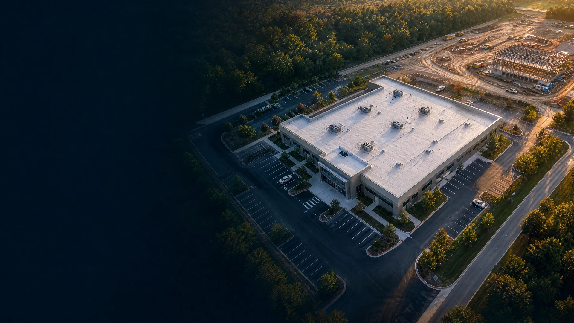
- Detailed roof and exterior documentation that creates a visible baseline for maintenance, contractor communication, and future comparison
- Orthomosaic maps of the full site — geometrically corrected aerial imagery that provides a consistent, site-wide view
- 3D models and measurable site data when the scope and intended software workflow call for them
- Construction progress documentation that shows the condition of the overall project on a defined date
- Organized inspection imagery grouped by area, asset, or observed condition rather than delivered as an unstructured photo set
- Repeatable before-and-after documentation for teams monitoring visible change over time
- Written condition and observation reports that identify visible areas for review and frame the next conversation
How Different Managers Use the Record
For Project Managers
The value is better visibility into progress. A consistent aerial record gives the project team a common view of work zones, site access, material staging, and visible progress at each documentation interval. It supports clearer owner updates and helps the team establish what was visible on a specific date.
For Property Managers
The value is better documentation of building and site conditions. Instead of collecting isolated photos only after a concern is raised, the manager has a dated visual baseline of the roof, exterior, pavement, drainage indicators, and overall property context to share with ownership or contractors.
For Facility and Asset Managers
The value is a clearer picture of where resources may need to go next. The aerial record does not replace an engineer, roofer, surveyor, or other qualified specialist. It helps the responsible team see the visible site context, prioritize follow-up, and send the right people to the right areas with better information.
Pictures Document a Moment. A Record Supports a Decision.
A single image can be useful. But a decision-ready record has a different job. It is dated, organized, tied to locations or assets, and structured so the next inspection can be compared to the last. It gives an owner, contractor, manager, or specialist the same starting point when the question is not simply what a site looked like — but what should happen next.
SION Solutions delivers information that helps people responsible for expensive assets make better decisions: Precision Data. Powerful Insights. Better Decisions.
Aerial documentation is an observational service. It records visible conditions from the air and is not a substitute for professional engineering, land surveying, roofing, code, safety, legal, or other specialist evaluation where those services are required.
SION Solutions | Actionable Aerial Intelligence FAA Part 107 Operations · Veteran-Owned · Serving the Mid-South Founded by Ivory Cooper, former FAA Memphis District Manager
Not sure if aerial documentation is right for your property? Let us take a look. SION Solutions offers a free consultation for commercial property owners, facility managers, and contractors in the Mid-South. No obligation — just a clear picture of what we can reveal.
Call 901-290-8372